Supported workflows
Key insurance workflows enabled by Quarticle data layers.
Assess multi-peril exposure across property portfolios
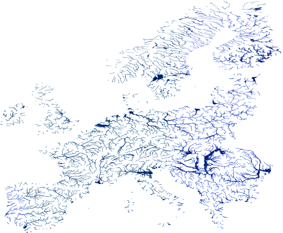
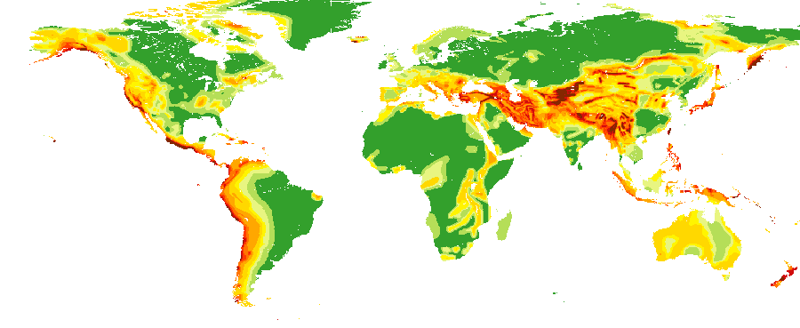
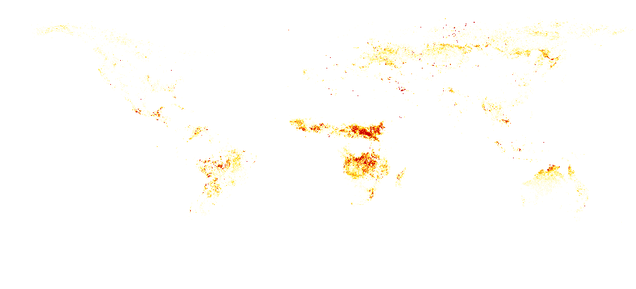
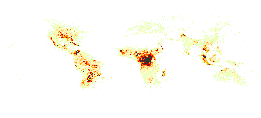
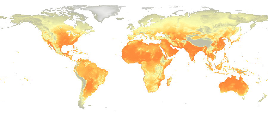
Combine flood, seismic, fire, lightning, and heat hazard layers to generate a consolidated risk view at the address, portfolio, or regional level across Europe and globally.
Price flood risk using authoritative flood zone data
Apply country-specific flood zone layers aligned with national authorities to support underwriting triage, risk-based pricing, and regulatory compliance.
Enrich policyholder data with standardised hazard metrics
Assign consistent hazard intensity scores to individual addresses via enrichment workflows, with outputs delivered in structured formats for direct integration into actuarial and pricing models.