JRC Flood Vectors
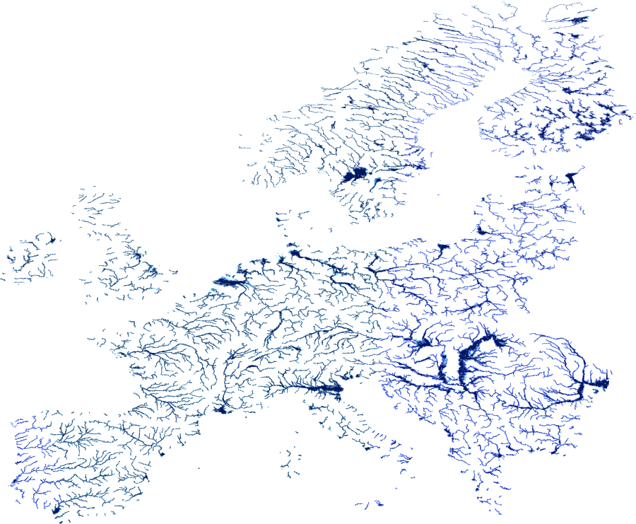
The JRC Flood Hazard dataset is a European vector layer derived from the Joint Research
Centre (JRC) of the European Commission's river flood hazard mapping programme,
developed in support of the EU Floods Directive (2007/60/EC) and the European Flood
Awareness System (EFAS). It delineates floodplain areas across European river basins,
aggregated into a composite hazard index from Very Low to Very High, reflecting inundation
potential across multiple return period scenarios. This layer is valuable for European
portfolio flood exposure screening, catastrophe risk assessment, and multi-country
comparisons where country-specific official flood maps are unavailable or inconsistent.
Data Visualisation
Technical information
Data coincides with the actual GeoNetwork catalog record - this is our most recent verified data.
| Coverage | Europe |
| Data format | Vector |
| Projection | EPSG:3857 (Web Mercator) |
| Source | JRC |
| License | Pending — not yet captured for this layer |
| Last updated | 2026-10-31 |
Interpreting the data
each polygon is assigned a composite flood hazard class encoded in
the dn attribute — from Very Low (0–1) through Low, Moderate, Significant, High, to Very
High (5+). Unlike single-return-period flood zone maps, this layer synthesises multiple
recurrence scenarios into a unified hazard ranking. Higher values correspond to areas that
flood more frequently or more severely across multiple scenarios.
[colour ramp to be confirmed]
Resolution and update frequency
vector polygons derived from approximately 100 m raster flood models,
coverage limited to Europe. Update frequency depends on JRC and EFAS revision cycles.
Source
https://data.jrc.ec.europa.eu/collection/id-0054 (European Commission Joint Research Centre — River Flood Hazard Maps). Open access under the European Commission reuse policy.
Related layers
| Layer | Why it's related |
|---|---|
| TODO | TODO |