Supported workflows
Key logistics workflows enabled by Quarticle data layers.
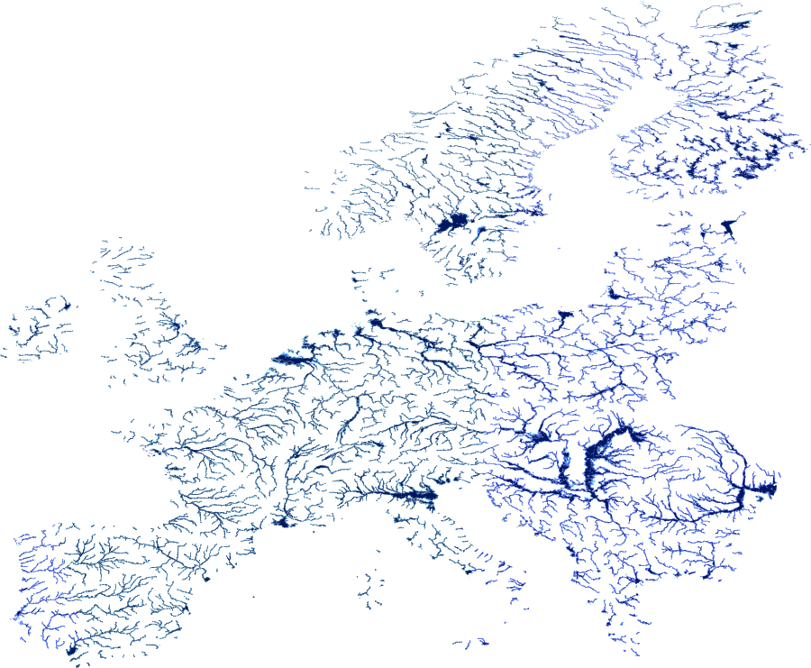
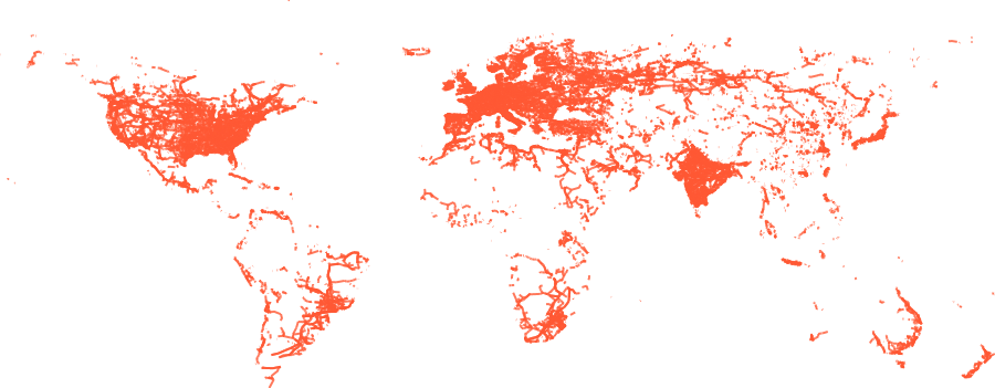
Evaluate flood exposure across critical transport networks
Analyse road and rail infrastructure across multiple flood scenarios to identify vulnerable segments, assess potential disruption, and support resilient network planning using European and U.S. flood-hazard datasets.
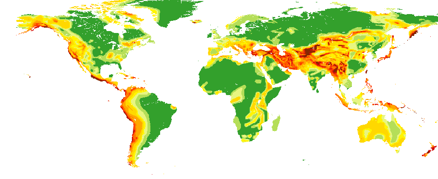
Optimise facility locations for multi-hazard resilience
Evaluate potential warehouse and distribution centre sites against flood, seismic, fire, and landslide risks to support informed investment decisions and resilient infrastructure planning.
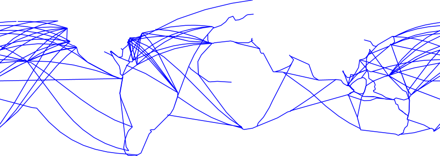
Assess critical infrastructure dependencies
Analyse exposure across essential infrastructure networks including power grids, shipping routes, and submarine cables to identify vulnerabilities, evaluate disruption risk, and support business continuity and resilience planning.