Shipping lanes
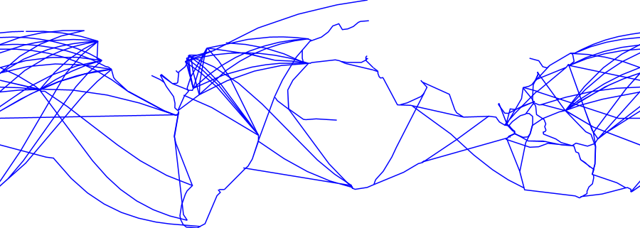
The Shipping Lanes dataset is a global vector layer representing major maritime
shipping routes — the principal corridors used by commercial vessels for international
trade. Derived from vessel tracking data or authoritative nautical sources, it maps the
concentration of maritime traffic across the world's oceans and key chokepoints. This
layer is valuable for marine cargo underwriting, port and logistics risk assessment,
understanding supply chain exposure to maritime hazards, and identifying strategic
shipping corridors vulnerable to disruption.
Data Visualisation
Technical information
Data coincides with the actual GeoNetwork catalog record - this is our most recent verified data.
| Coverage | Global |
| Data format | Vector |
| Projection | EPSG:3857 (Web Mercator) |
| Source | Pending — not yet captured for this layer |
| License | Pending — not yet captured for this layer |
| Last updated | 2026-10-31 |
Interpreting the data
each feature represents a shipping route or traffic density zone.
Major routes connect key port hubs and pass through strategic chokepoints such as the
Strait of Hormuz, Suez Canal, Strait of Malacca, and Dover Strait. Areas of high
traffic concentration carry greater exposure to collision, weather, and geopolitical
disruption risk.
Resolution and update frequency
vector lines or polygons; global coverage. Update frequency
to be confirmed.
Source
to be added (source to be confirmed — MarineTraffic, NGIA, or equivalent
global shipping route dataset).
Related layers
| Layer | Why it's related |
|---|---|
| TODO | TODO |