Europe Population Census 2021
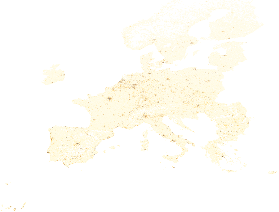
The Europe Population Census 2021 dataset is a vector grid layer containing population
and demographic statistics derived from the 2021 EU Population Census, harmonised and
distributed by Eurostat as part of the GEOSTAT initiative. National census microdata
from EU member states are aggregated to a uniform 1 km² population grid, enabling
consistent cross-country demographic analysis across Europe. This layer is valuable for
exposure modelling, socioeconomic risk profiling, urban and rural planning, humanitarian
assessments, and understanding the demographic composition of areas at risk.
Data Visualisation
Technical information
Data coincides with the actual GeoNetwork catalog record - this is our most recent verified data.
| Coverage | Europe |
| Data format | Vector |
| Projection | EPSG:3857 (Web Mercator) |
| Source | Eurostat |
| License | Pending — not yet captured for this layer |
| Last updated | 2026-10-31 |
Interpreting the data
each grid cell contains total population count alongside a
breakdown by sex (male, female), age group (under 15 years, 15–64 years, 65 years and
over), and number of employed persons. Values reflect census estimates for the reference
year 2021; no-data cells (−9999) indicate uninhabited or suppressed areas. This layer
enables not only overall exposure assessment but also age-vulnerability analysis (e.g.
elderly population in hazard zones) and workforce distribution.
Resolution and update frequency
1 km² grid cells, coverage limited to Europe. Reference year: 2021.
Updated following each decennial EU Census cycle.
Source
https://ec.europa.eu/eurostat/web/gisco/geodata/population-distribution (Eurostat GISCO — Population Distribution / GEOSTAT 2021 Census Grid). Freely available; source acknowledgment required.
Related layers
| Layer | Why it's related |
|---|---|
| TODO | TODO |