EU Drive Time Education
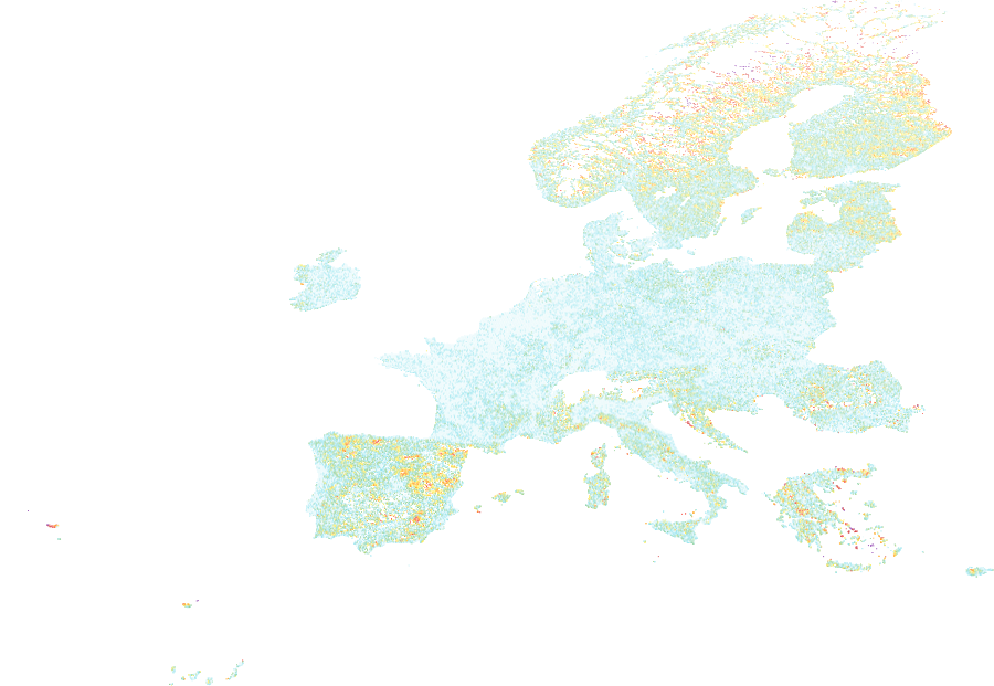
The Europe Accessibility to Education Services dataset is a European grid layer measuring
travel time to education facilities from each grid cell, produced from accessibility
modelling for the reference year 2023. Derived from the European Commission's spatial
accessibility framework, it quantifies how long it takes to reach the nearest educational
institution by road network — making it a key indicator of service coverage, social
equity, and territorial cohesion. This layer is valuable for socioeconomic risk
profiling, vulnerable population assessment, and understanding disparities in access to
essential services across European regions.
Data Visualisation
Technical information
Data coincides with the actual GeoNetwork catalog record - this is our most recent verified data.
| Coverage | Europe |
| Data format | Vector |
| Projection | EPSG:3857 (Web Mercator) |
| Source | JRC / Eurostat |
| License | Pending — not yet captured for this layer |
| Last updated | 2026-10-31 |
Interpreting the data
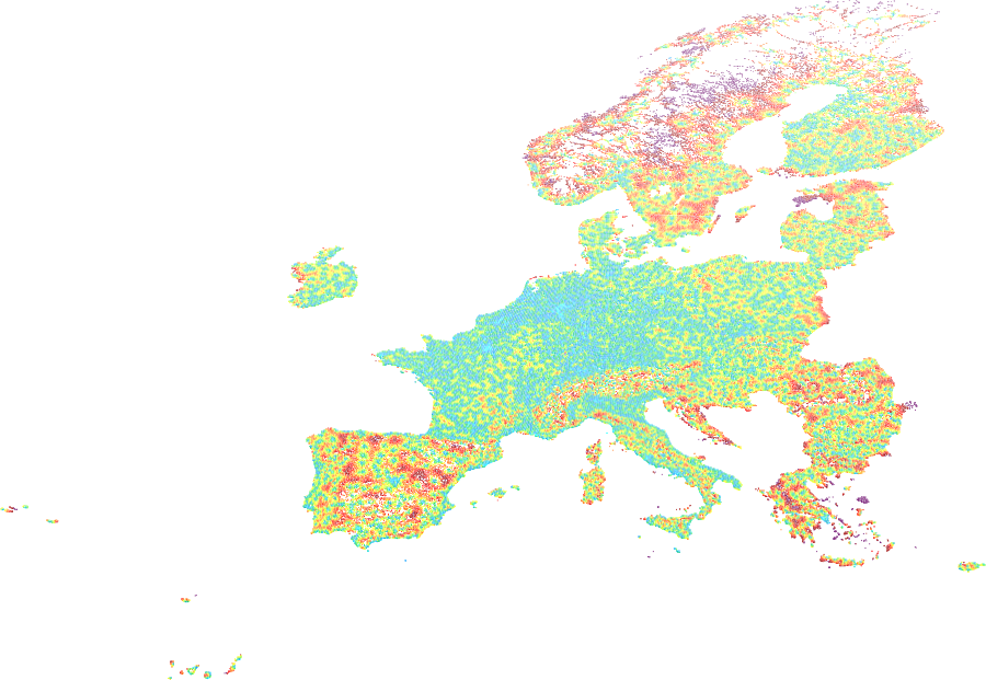
two attributes are provided per grid cell — travel time to the
nearest education service in 2023 (minutes), and the average travel time to the three
nearest services (minutes). Lower values indicate good accessibility; higher values
indicate remote or underserved areas. The three-nearest average reduces the influence
of a single isolated facility and better represents local service availability.
Resolution and update frequency
grid cells (resolution to be confirmed); coverage limited to Europe.
Reference year: 2023.
Source
to be added (European Commission JRC / Eurostat — Accessibility to
Services in Europe).
Related layers
| Layer | Why it's related |
|---|---|
| TODO | TODO |