Official Flood Zones - Belgium - Wallonia
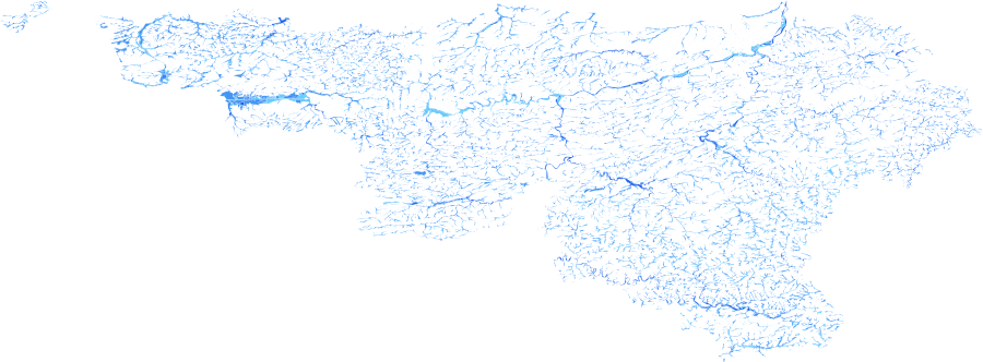
The Official Flood Zones – Belgium (Wallonia) dataset is a regional vector layer
delineating areas exposed to fluvial (river) flooding at multiple return periods,
produced in compliance with the EU Floods Directive (2007/60/EC) by Wallonian
authorities. The dataset maps the spatial extent of flood inundation across four hazard
classes from High (25-year) to Low (1000-year). It is essential for flood risk
assessment, insurance exposure modelling, urban planning, and regulatory compliance
with national and EU-level flood hazard mapping requirements.
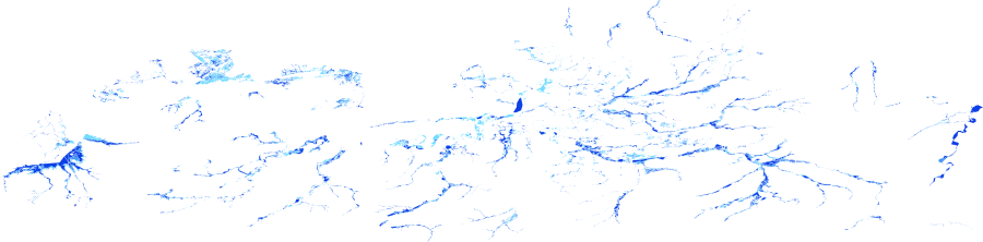
Data Visualisation
Technical information
Data coincides with the actual GeoNetwork catalog record - this is our most recent verified data.
| Coverage | Belgium |
| Data format | Vector |
| Projection | EPSG:3857 (Web Mercator) |
| Source | JRC Risk Data Hub |
| License | Pending — not yet captured for this layer |
| Last updated | 2026-10-31 |
Interpreting the data
each polygon is classified by its return period attribute — lower
return periods indicate more frequent, higher-probability flood events; higher return
periods indicate rarer but potentially more severe events. Classes range from High
(25-year, 4% annual probability) through Significant, Moderate, to Low (1000-year,
0.1% annual probability). The intensity score is inverted relative to return period so
that more frequent flooding scores higher.
Resolution and update frequency
vector polygons; accuracy depends on the source cartographic scale
(to be confirmed). Coverage limited to the Wallonia region of Belgium. Aligned with
EU Floods Directive flood hazard map reporting cycles.
Source
to be added (Service Public de Wallonie — SPW / EU Floods Directive
implementation).
Related layers
| Layer | Why it's related |
|---|---|
| TODO | TODO |