Official Flood Zones - USA
The Official Flood Zones – USA dataset is a national vector layer representing FEMA's
National Flood Insurance Program (NFIP) Flood Insurance Rate Map (FIRM) zones — the
authoritative flood hazard classification for the United States. Produced by the Federal
Emergency Management Agency, FIRM zones delineate Special Flood Hazard Areas (SFHAs)
at the 1% annual chance (100-year) flood level, as well as moderate and minimal hazard
zones. This layer is essential for US flood risk assessment, insurance underwriting,
regulatory compliance (mandatory flood insurance purchase requirements), and exposure
modelling for US-domiciled portfolios.
Data Visualisation
Technical information
Data coincides with the actual GeoNetwork catalog record - this is our most recent verified data.
| Coverage | United States |
| Data format | Vector |
| Projection | EPSG:3857 (Web Mercator) |
| Source | FEMA |
| License | Pending — not yet captured for this layer |
| Last updated | 2026-10-31 |
Interpreting the data
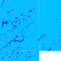
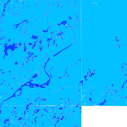
zones are classified into three risk levels — High (100-year
flood, 1% annual probability; SFHA zones A, AE, AH, AO, VE, V), Moderate (500-year
flood, 0.2% annual probability; zone X with 0.2% subtype), and Very Low (outside
0.2% annual chance floodplain; zone X minimal hazard). The fld_zone attribute holds
the FEMA zone code; zone_subty provides additional detail. Coastal V zones indicate
wave action in addition to flooding.
Resolution and update frequency
vector polygons; coverage limited to the United States. FIRMs are
updated on a rolling basis by FEMA as communities undergo map revision cycles.
Source
https://www.fema.gov/flood-maps (FEMA — National Flood Insurance Program / Flood Map Service Center). Public domain; freely available.
Related layers
| Layer | Why it's related |
|---|---|
| TODO | TODO |